Photographs From The New Frontier: Patrick Wack Journeys To Xinjiang, China
- Name
- Patrick Wack
- Project
- Out West
- Location
- China
- Words
- Rosie Flanagan
Xinjiang, the sprawling westernmost province of China, measures over 1.6 million square kilometers; its landscape plays host to snow-capped mountain ranges, arid deserts, dry grasslands and a scattering of lush oases. In 2016 and 2017, Beijing-based photographer Patrick Wack ventured there to capture the province and its people.
Despite boasting a landscape rich in oil, natural gas, and mineral deposits, Xinjiang has seen little of China’s economic growth. Its population, which consists largely of the indigenous Uighurs, a Sunni-Muslim ethnic group, is plagued by religious persecution and poverty. Similarly to Tibet, the province is an autonomous region of China, but its inhabitants remain closely monitored by the country’s intensely secular government. The recent uncovering of ‘vocational training centers’, where religious minority groups and intellectuals are being involuntarily interned, is one such example of attitudes and actions that have become common in what multiple media outlets have named a “police state”.
Venturing to towns along a border that stretches for seven countries, Wack has captured the emotional disquiet of the province. “What I had not anticipated was the feeling of sadness I sensed everywhere I went; the idea that people and land are trapped in something bigger than them and which they cannot escape,” he told TIME Magazine. Notable amongst the images from the series are those of transportation routes; namely China’s Belt and Road Initiative, a $900 billion dollar reimagination of the ancient Silk Road that once wound its way through the region. These images deftly illustrate the rapid development of the province; but juxtaposed against photographs of the people who live in the remote reaches of Xinjiang, could be read as a prescient warning of things to come.
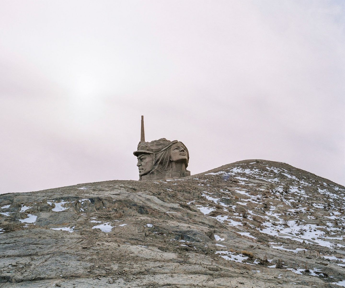
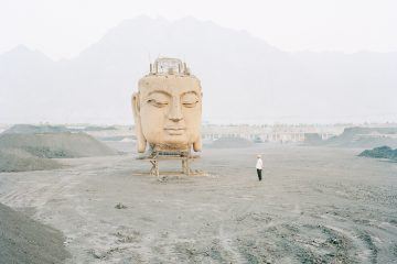
December 2016. Xinjiang province, China. Communist monument in Xinjiang on the road G312 to Hami (also called Kumul) driving from Gansu province. © Patrick Wack
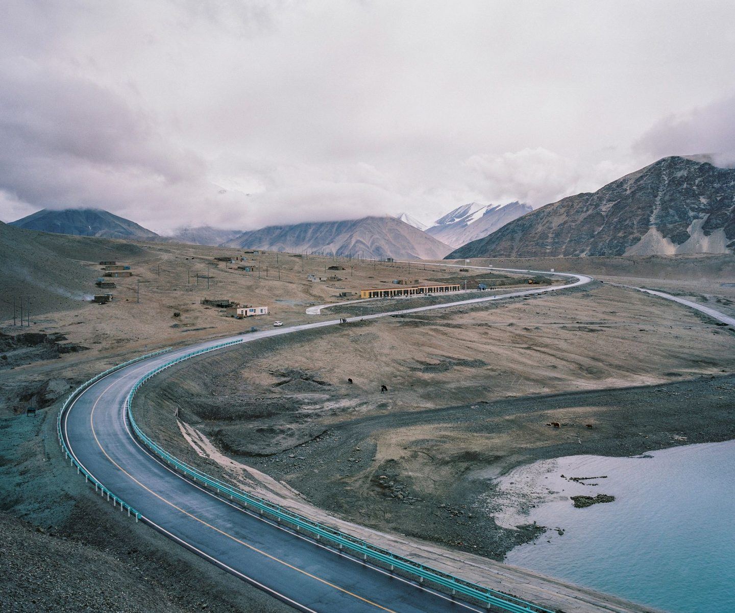
May 2016. Xinjiang province, China. View of road G314 in China, aka the Karakoram highway, the road linking the western Chinese province of Xinjiang with Pakistan through the Pamir mountains. On the right is the Baishahu lake. A new road should be finished by 2017 to increase trade between the two countries. © Patrick Wack
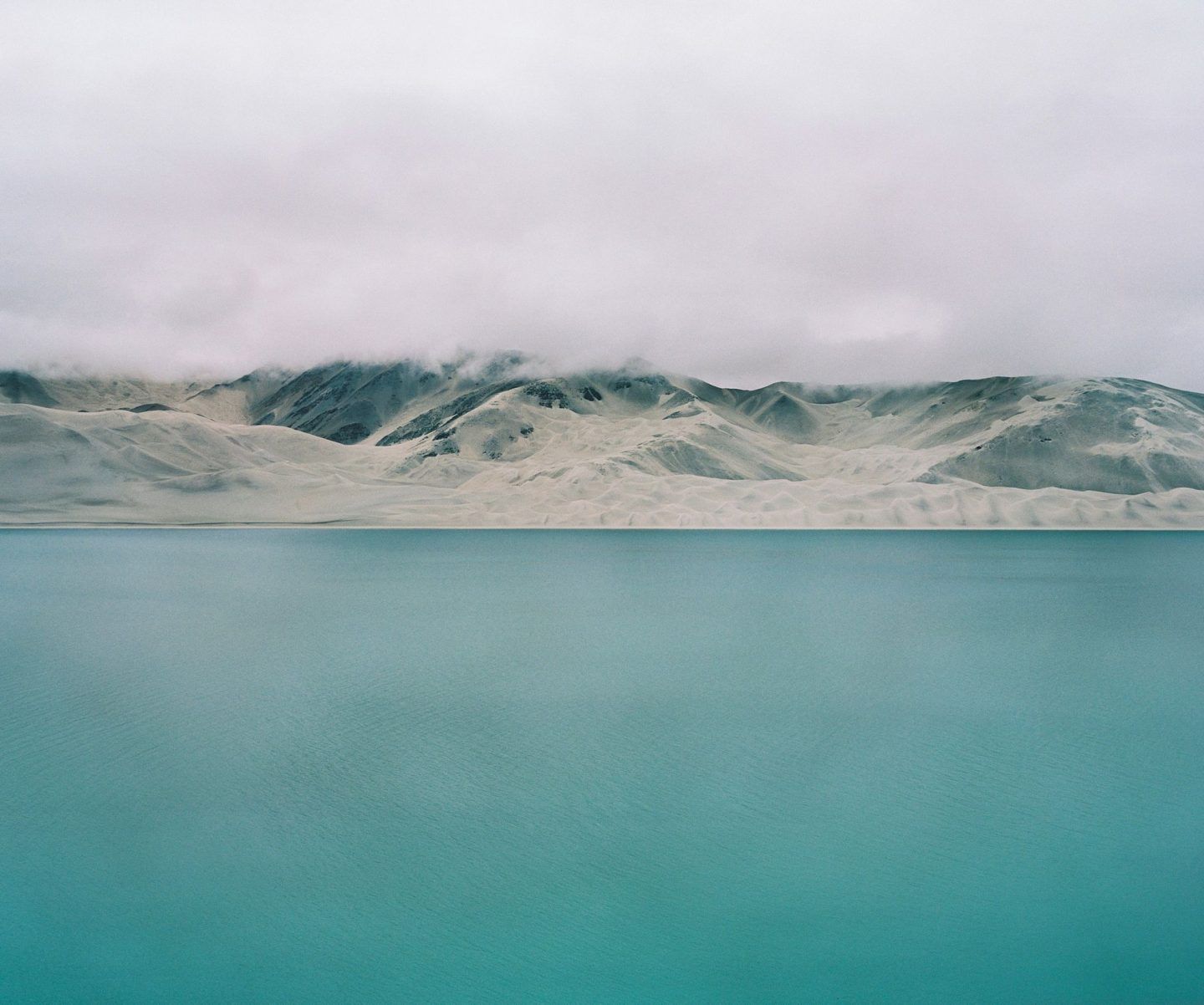
May 2016. Xinjiang province, China. View of Baishahu lake on the itinerary of the road G314 in China, aka the Karakoram highway, the road linking the western Chinese province of Xinjiang with Pakistan through the Pamir mountains. A new road should be finished by 2017 to increase trade between the two countries. © Patrick Wack
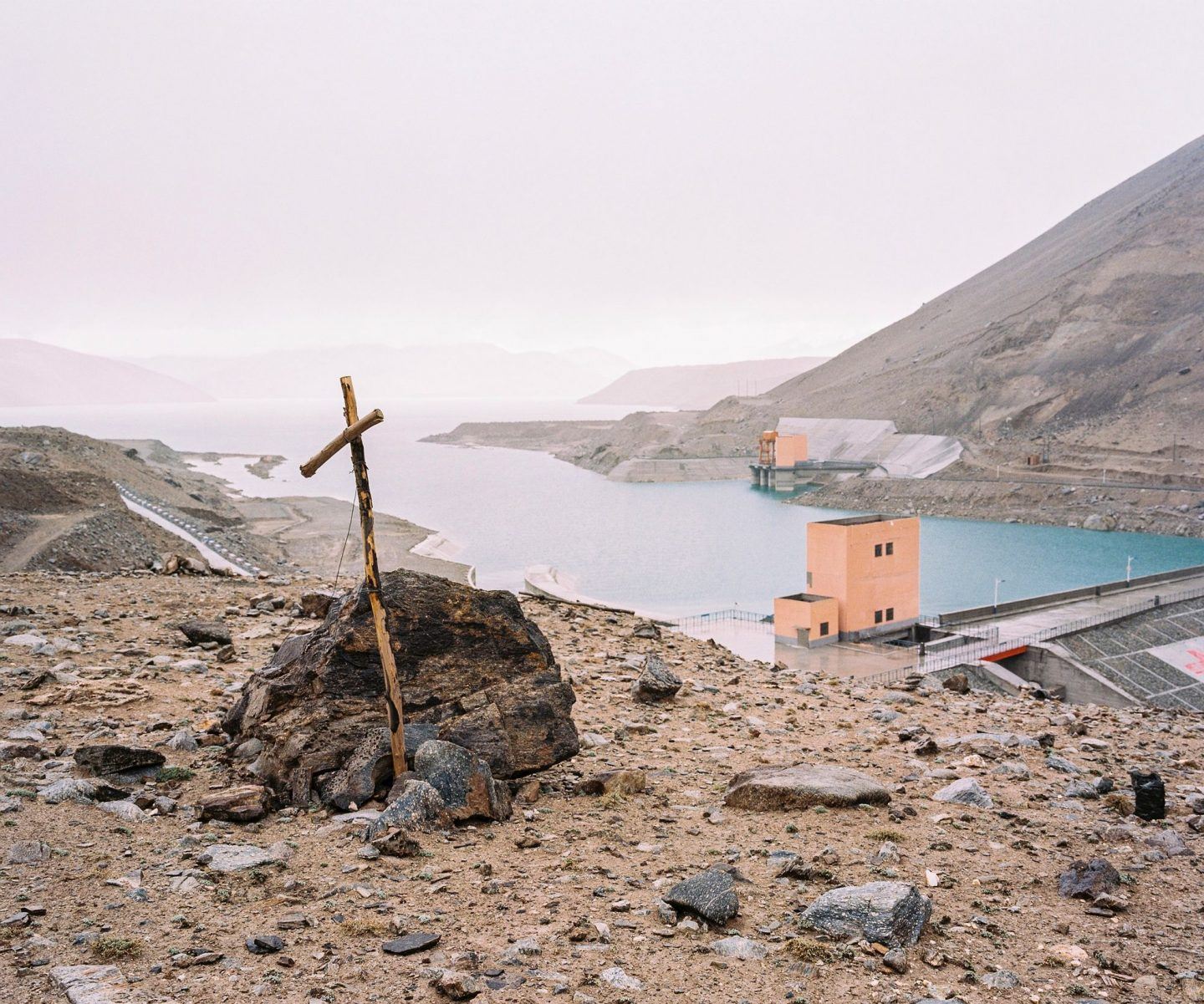
May 2016. Xinjiang province, China. View of Baishahu lake and its dam. The lake is situated on the road G314 in China, aka the Karakoram highway, the road linking the western Chinese province of Xinjiang with Pakistan through the Pamir mountains. On the right is the Baishahu lake. A new road should be finished by 2017 to increase trade between the two countries. © Patrick Wack
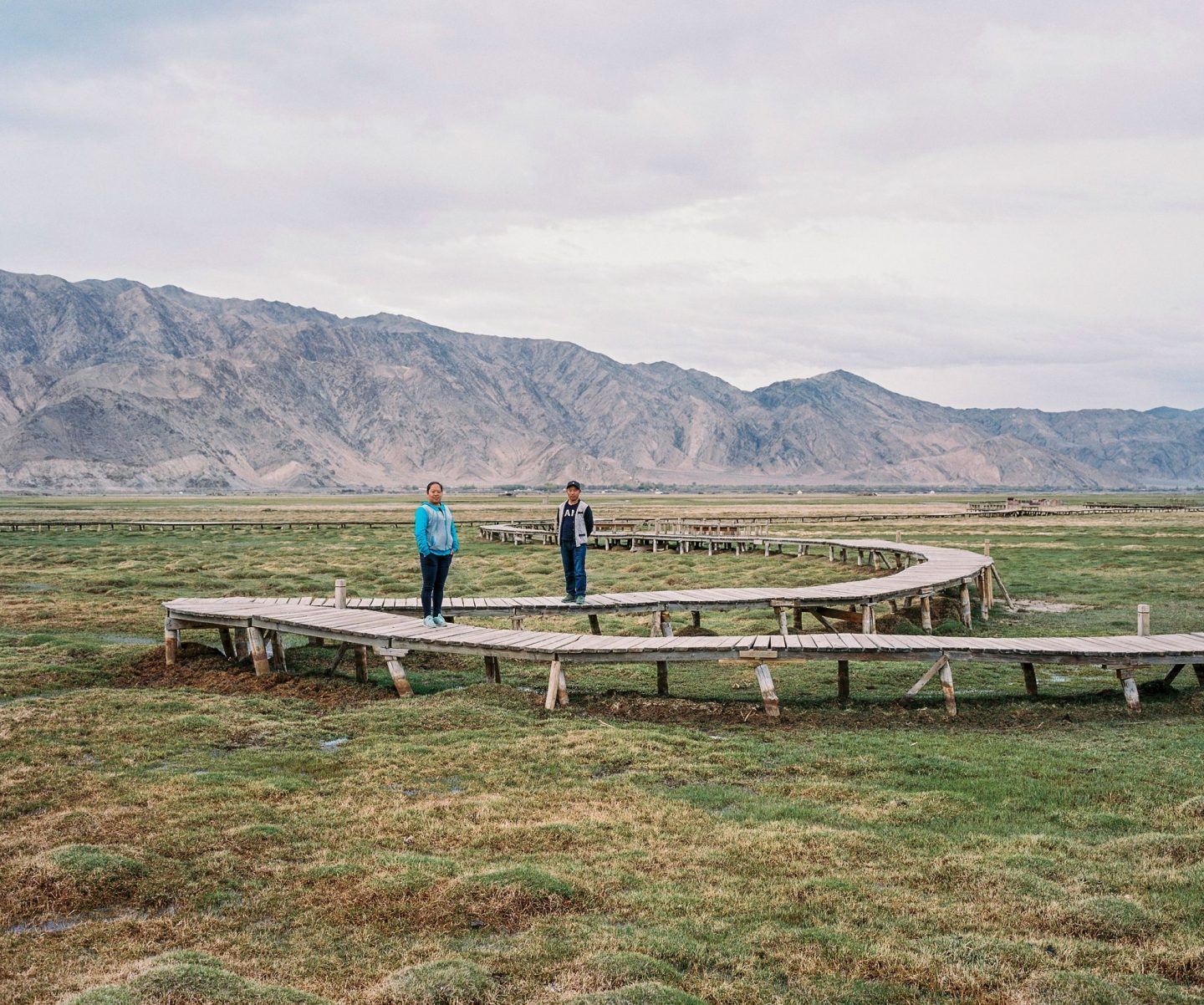
May 2016. Xinjiang province, China. A Han Chinese couple living and working in Tashkurgan posing on the Wetlands in Tashkurgan Tajik Autonomous County in Xinjiang at the border with Tajikistan. He is from Kashgar but they have met in Tashkurgan and now live there. © Patrick Wack
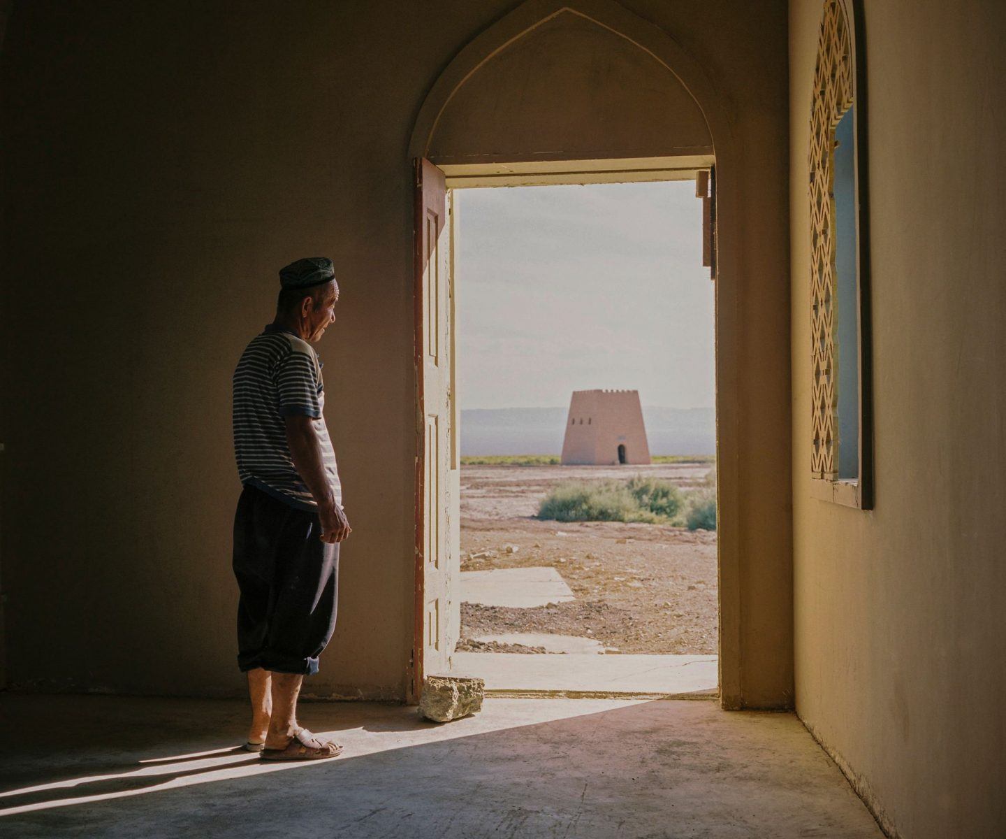
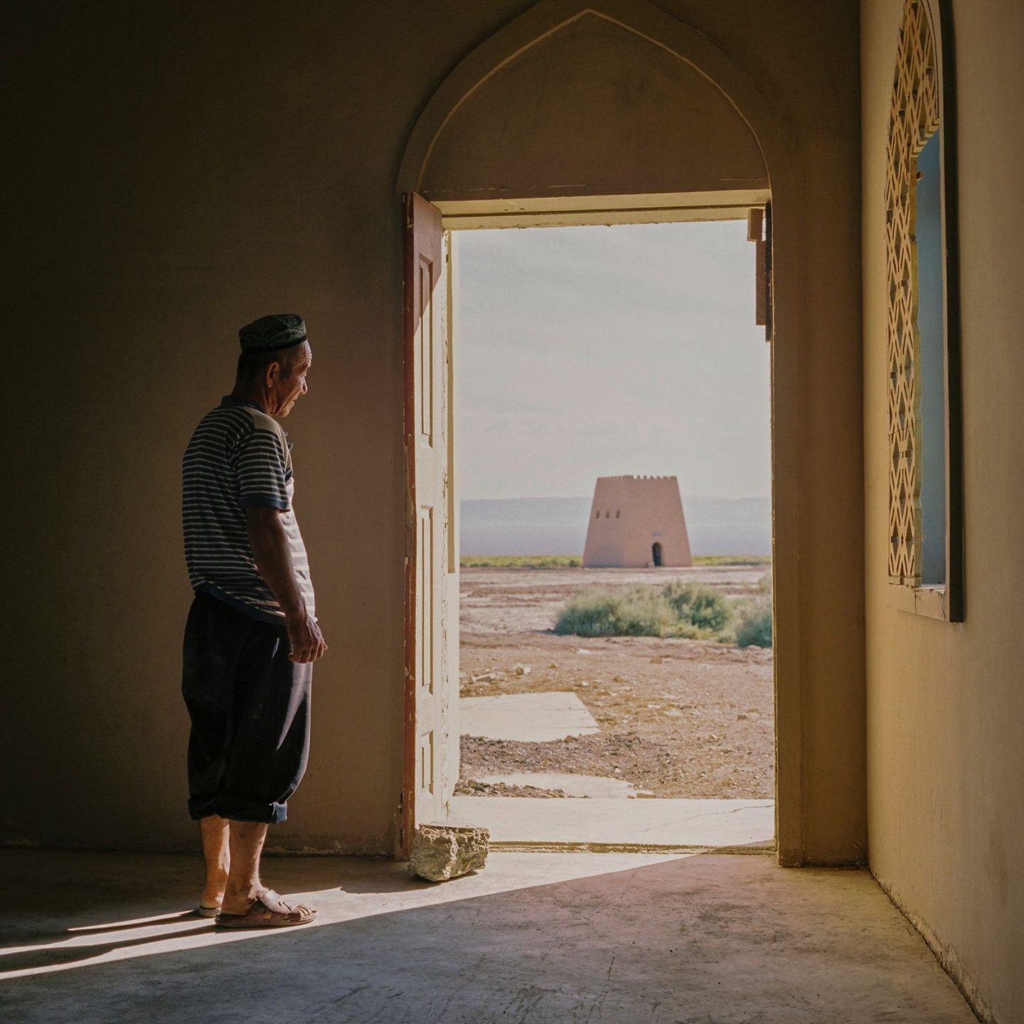
June 2016. Xinjiang province, China. Uighur man looking through the door of his house into the Turpan depression and Ayding lake. Ayding lake is a dried up lake in the Turpan Depression, Xinjiang Uyghur Autonomous Region. At 154 m below sea level, it is the lowest point in China. This lake is now totally dried, and very muddy and salty. This man is the guardian of the site and lives here all year long, mostly by himself with his two camels and one donkey, receiving food and water on a weekly basis. The Turpan Depression or Turfan Depression is a fault-bounded trough located around and south of the city-oasis of Turpan, in the Xinjiang Autonomous Region in far western China, about 150 kilometres (93 mi) southeast of the regional capital Ürümqi. It includes the fourth lowest exposed point on the Earth's surface, after the Dead Sea, the Sea of Galilee, and Lake Assal. It is entirely below sea level. By some measures, it is also the hottest and driest area in China during the summer. © Patrick Wack
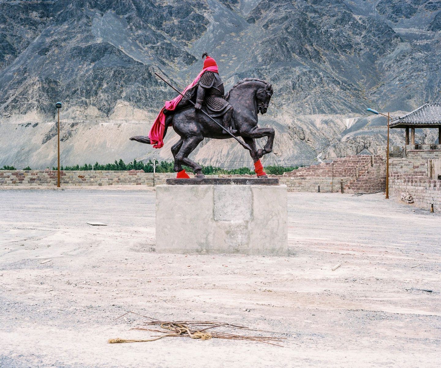
June 2016. Xinjiang province, China. Blindfolded statue of a Kazakh warrior on the road from Turpan back to Urumqi. © Patrick Wack
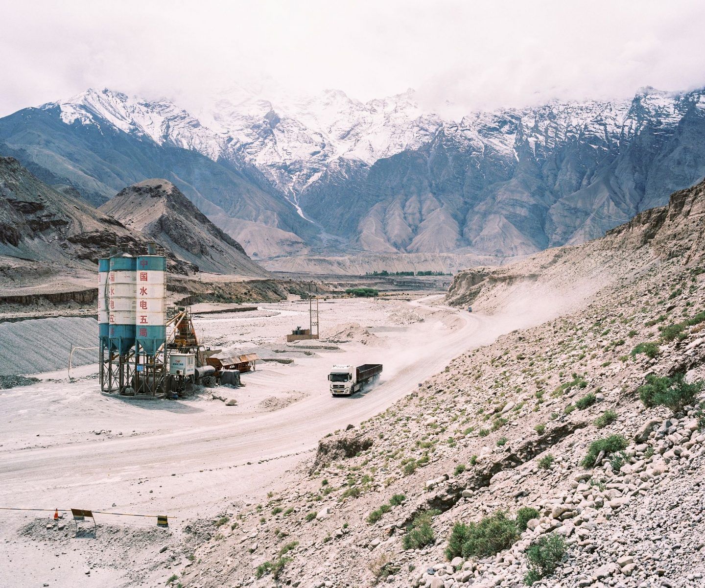
May 2016. Xinjiang province, China. View of road G314 in China, aka the Karakoram highway, the road linking the western Chinese province of Xinjiang with Pakistan through the Pamir mountains. On the right is the Baishahu lake. A new road should be finished by 2017 to increase trade between the two countries. © Patrick Wack
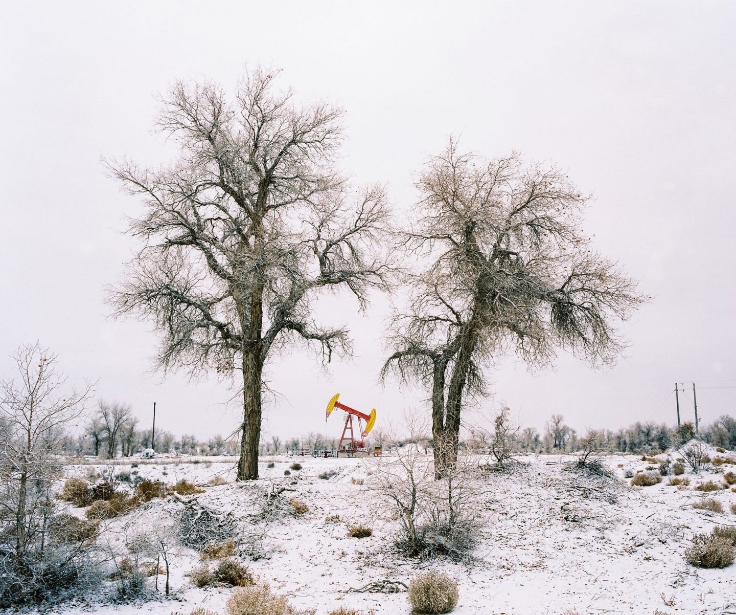
November 2016. Xinjiang province, China. Oil derrick at the Norther border of the Taklamakan desert in Luntai county in Xinjiang in between Korla and Kuqa, north of the Taklamakan desert. Luntai is a county in the Xinjiang Uyghur Autonomous Region and is under the administration of the Bayin'gholin Mongol Autonomous Prefecture. © Patrick Wack
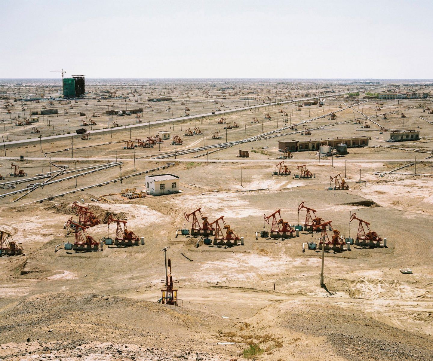
May 2017. Xinjiang province, China. View of the pumps in the oil field in the outskirts of the city of Karamai. © Patrick Wack
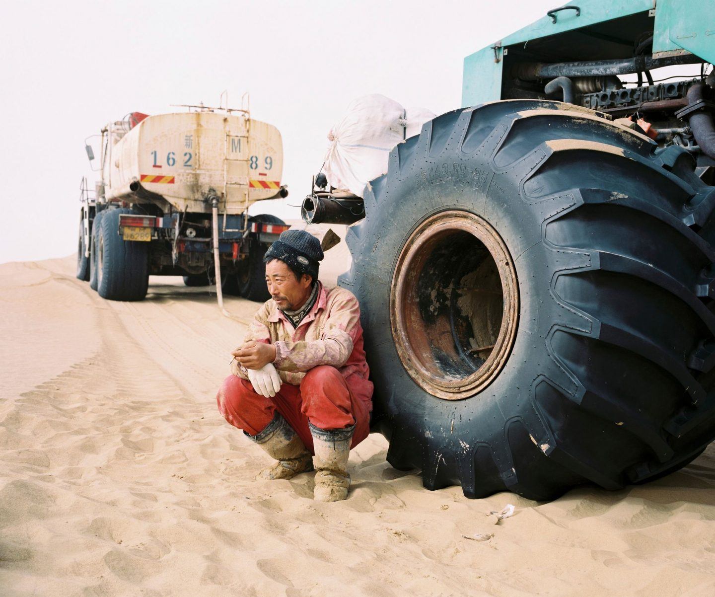
December 2016. Xinjiang province, China. Senior technician from a Chinese state-owned oil company taking a cigarette break after lunch near one of the team's vehicle. He is part of an oil exploration team from a Chinese state-owned company operating in the Taklamakan desert in the province of Xinjiang. This team and a few others are setting up thousands of explosive charges for weeks at a time that are all detonated at sthe same time to detect oil fields. Company is CNPC, China National Petroleum Corporation. © Patrick Wack
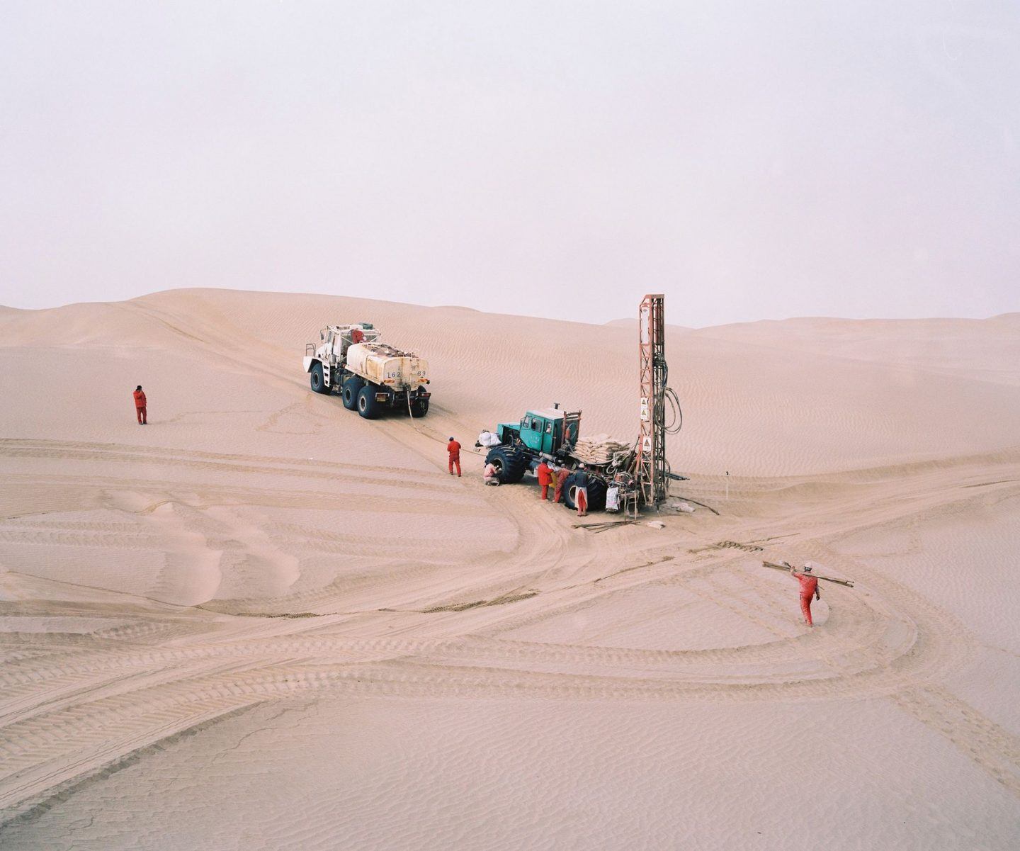
December 2016. Xinjiang province, China. Oil exploration team from CNPC - China National Petroleum Corporation - operating in the Taklamakan desert in the province of Xinjiang. This team and a few others are setting up thousands of explosive charges for weeks at a time that are all detonated at the same time to detect oil fields. © Patrick Wack
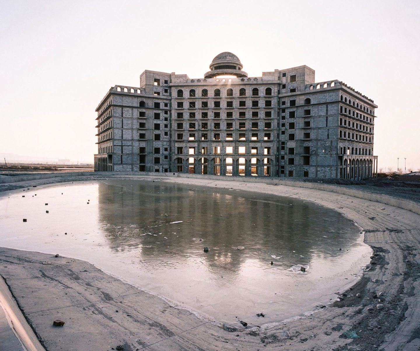
December 2016. Xinjiang province, China. Half constructed and decaying palace hotel in the new development zone of the city of Turpan in Xinjiang. © Patrick Wack
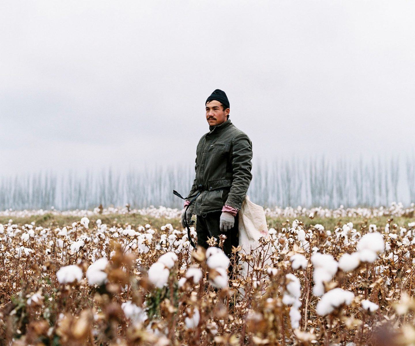
November 2016. Xinjiang province, China. Young Uighur-minority seasonal worker in the last days of the cotton harvest in Luntai county in between the cities of Korla and Kuqa, north of the Taklamakan desert. Luntai is a county in the Xinjiang Uyghur Autonomous Region and is under the administration of the Bayin'gholin Mongol Autonomous Prefecture. Cotton is one of the largest agricultural industries in the province and many local Uighurs are used as cheap seasonal labour during the harvest. © Patrick Wack
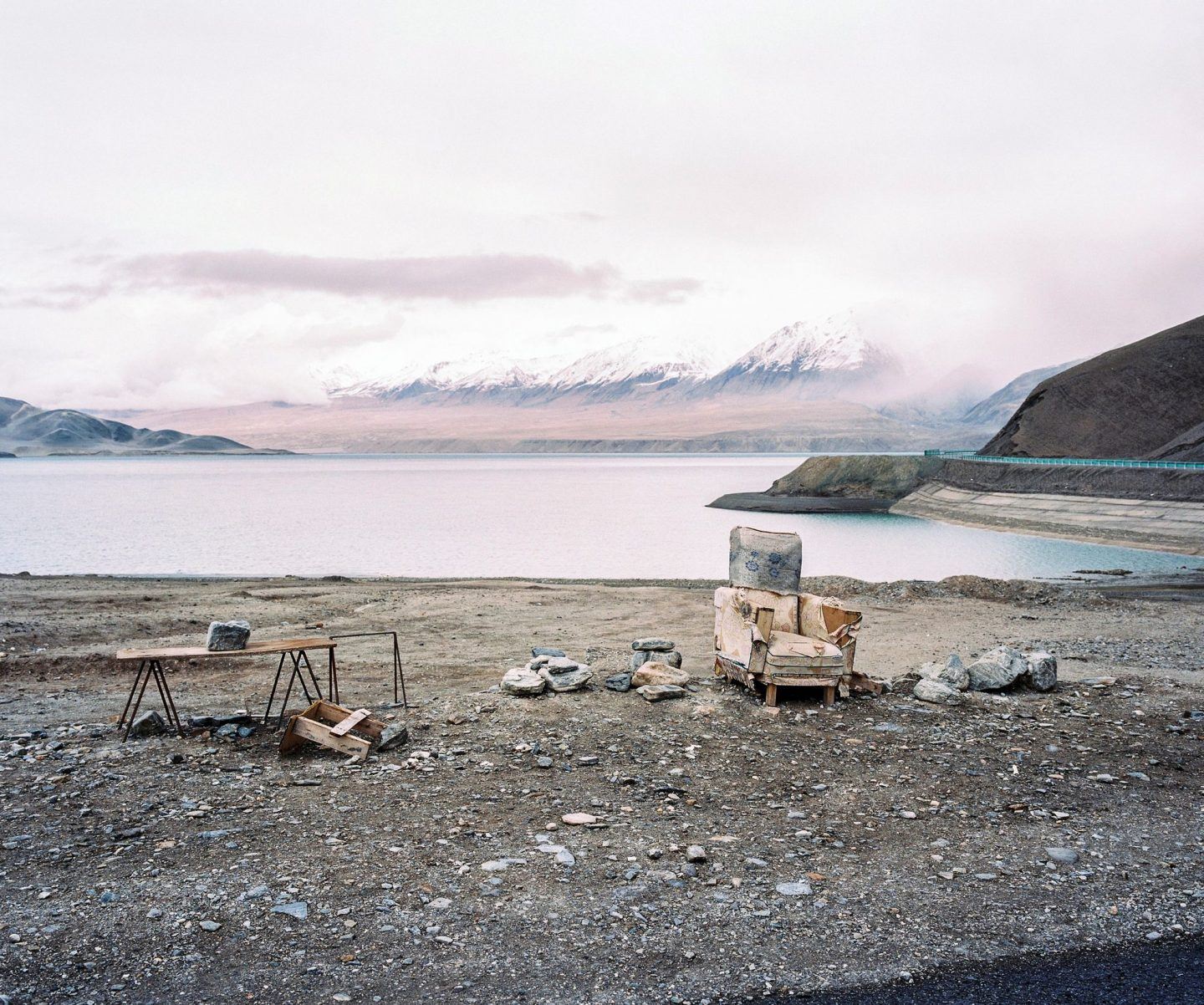
May 2016. Xinjiang province, China. View of Baishahu lake on the side of the Karakoram highway, the road linking the Chinese western province of Xinjiang with Pakistan. The road G314 in China, aka the Karakoram highway, the road linking the western Chinese province of Xinjiang with Pakistan through the Pamir mountains. On the right is the Baishahu lake. A new road should be finished by 2017 to increase trade between the two countries. © Patrick Wack
All images © Patrick Wack
